Vintage pictorial map titled 'A Map of Long Island' by Courtland Elmer Smith
History
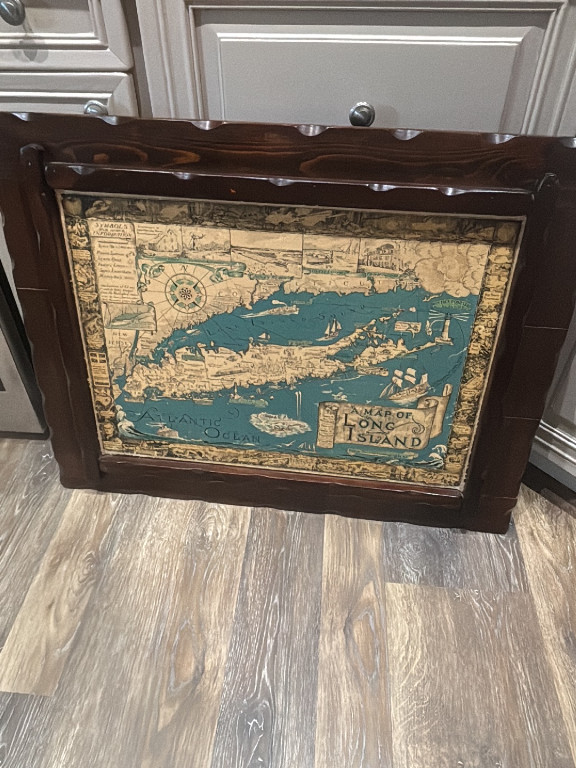
This pictorial map was originally created by Courtland Elmer Smith in 1933 and later reprinted in 1961. It depicts Long Island, New York, with charming illustrated vignettes showing historical landmarks, maritime scenes, and local points of interest. The map combines cartographic accuracy with artistic storytelling, capturing the region's rich colonial and maritime heritage during the early-to-mid 20th century. Pictorial maps like this one are highly sought after by collectors of Americana, vintage cartography enthusiasts, and Long Island historians. They appeal to those who appreciate decorative wall art with historical significance, as well as genealogists and local history buffs interested in New York's regional development. The combination of artistic merit and geographic documentation makes these maps valuable both as collectibles and as conversation pieces in homes and offices.
Origin
Long Island, New York, United States
Maker
Courtland Elmer Smith
Time period
1933 (original), 1961 (reprint)